• org_11928391dac3512d_1589982080000.jpg
  • org_7f0caab4d9bb9655_1589983258000.jpg
  • org_cd0af42cc3136987_1589982562000.jpg
  • org_a324e00079064387_1589982040000.jpg
  • org_7b9021d459d50d06_1589981966000.jpg
  • org_2bfccbc13f16fe8e_1589983230000.jpg
  • org_62a234f300a024b0_1590102412000.jpg
  • org_c85d3e6613d851c9_1590102570000.jpg
  • org_9c02c193861672b1_1590102442000.jpg
  • org_4aa6d72fd3b009ed_1590102678000.jpg
  • org_4178873b515d52a6_1590102590000.jpg
  • 5.PNG
  • 4.PNG
  • 61_00.PNG
  • 3.PNG
  • 61_19.PNG

Aerial View of the Property

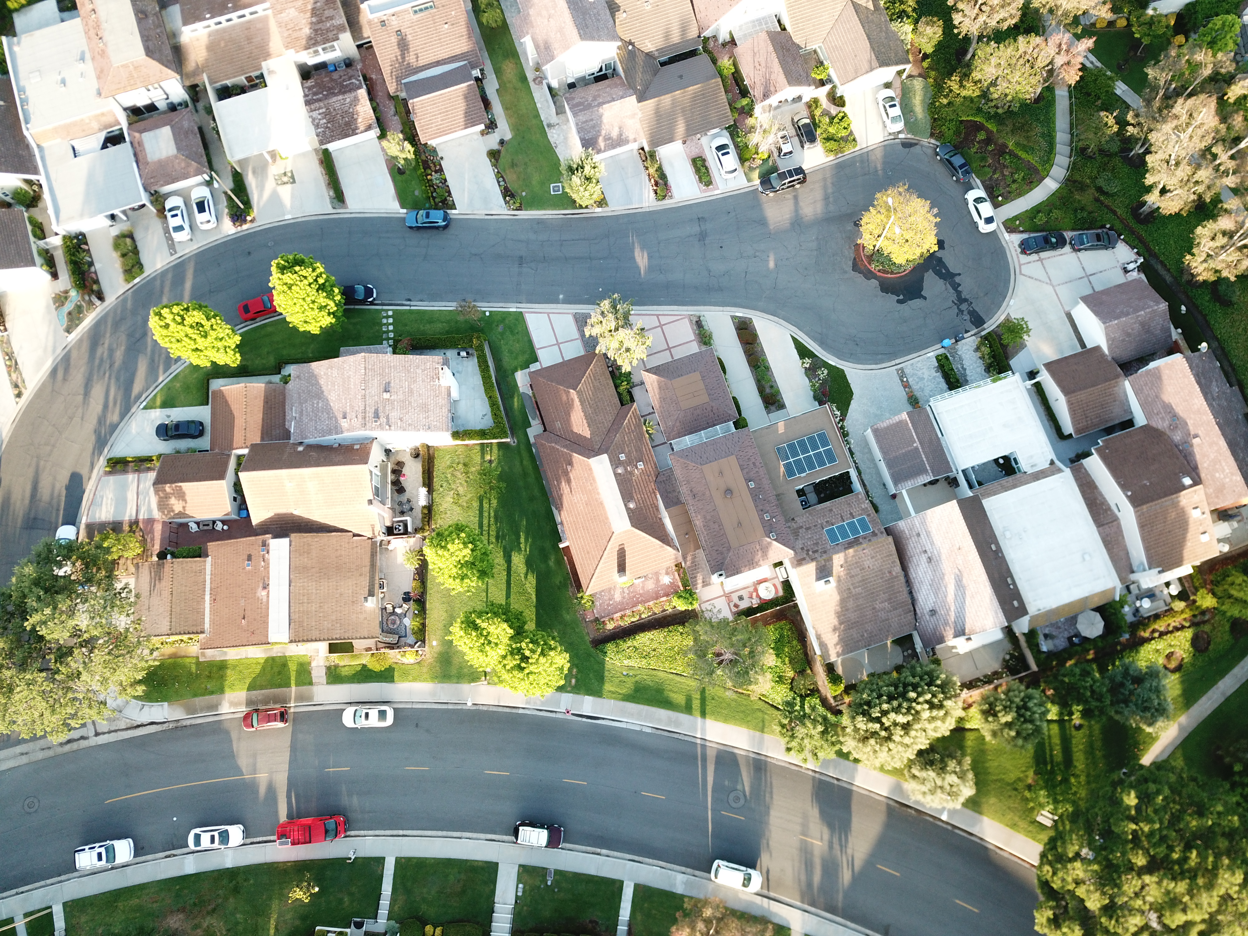
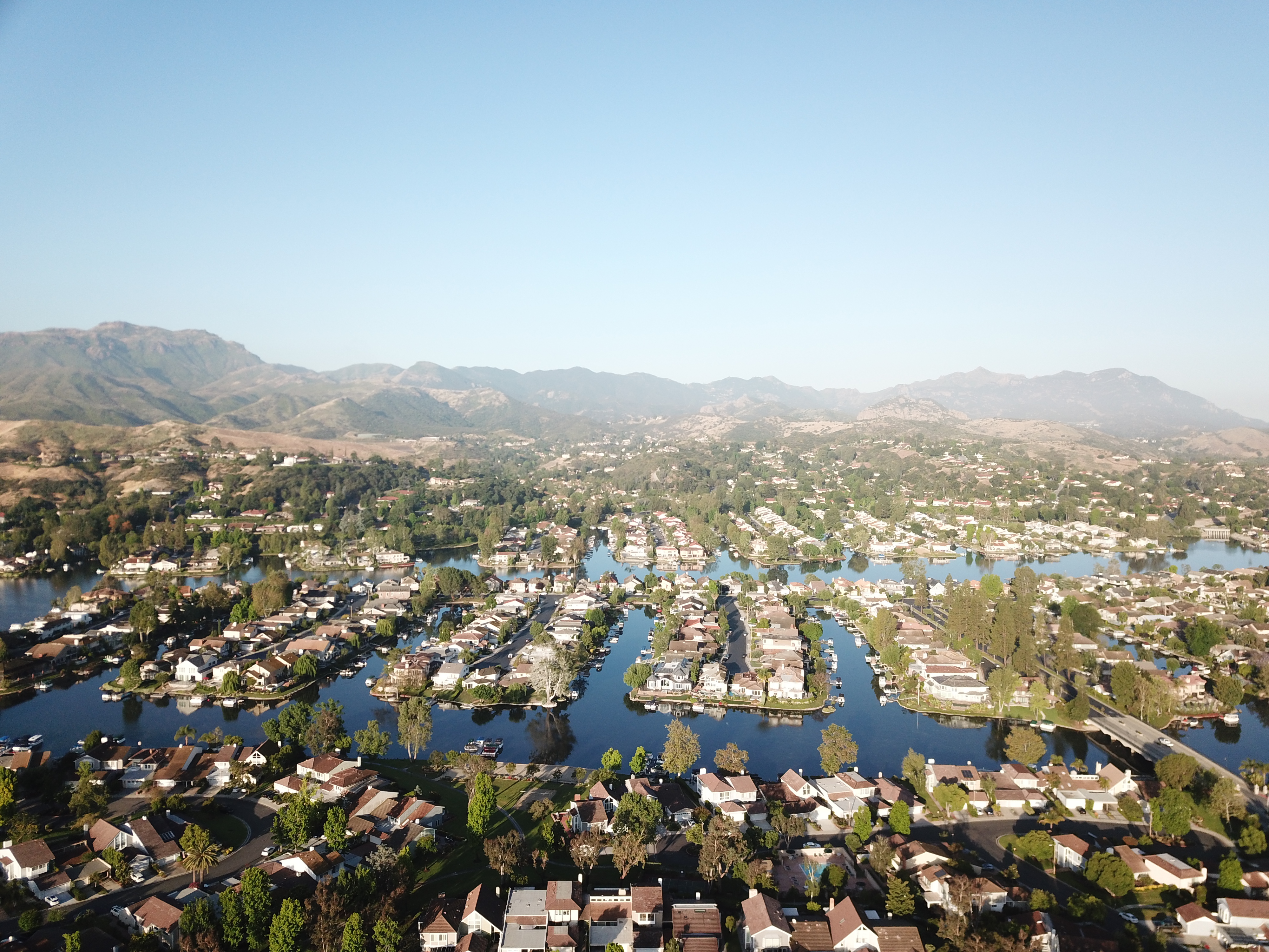
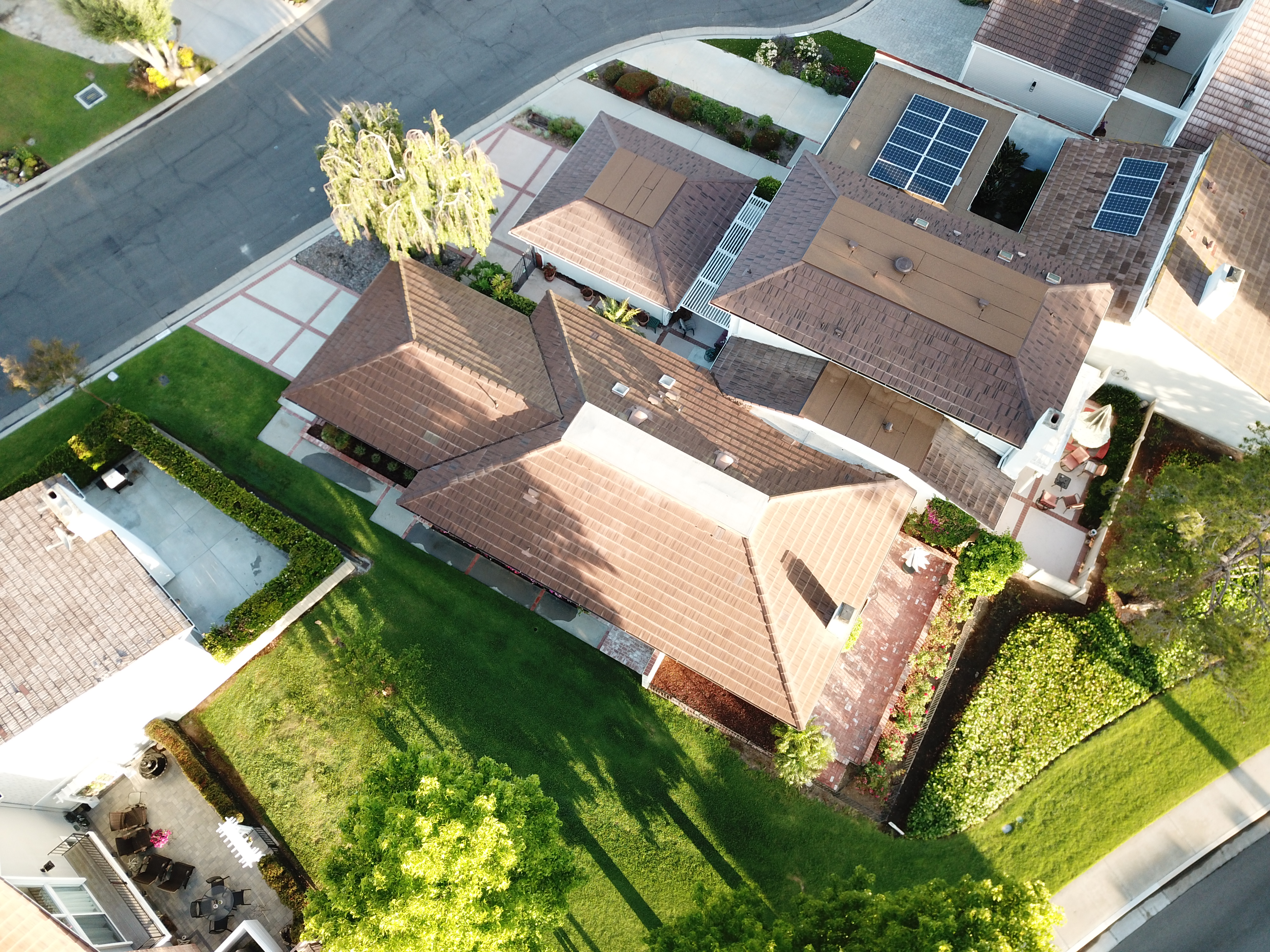
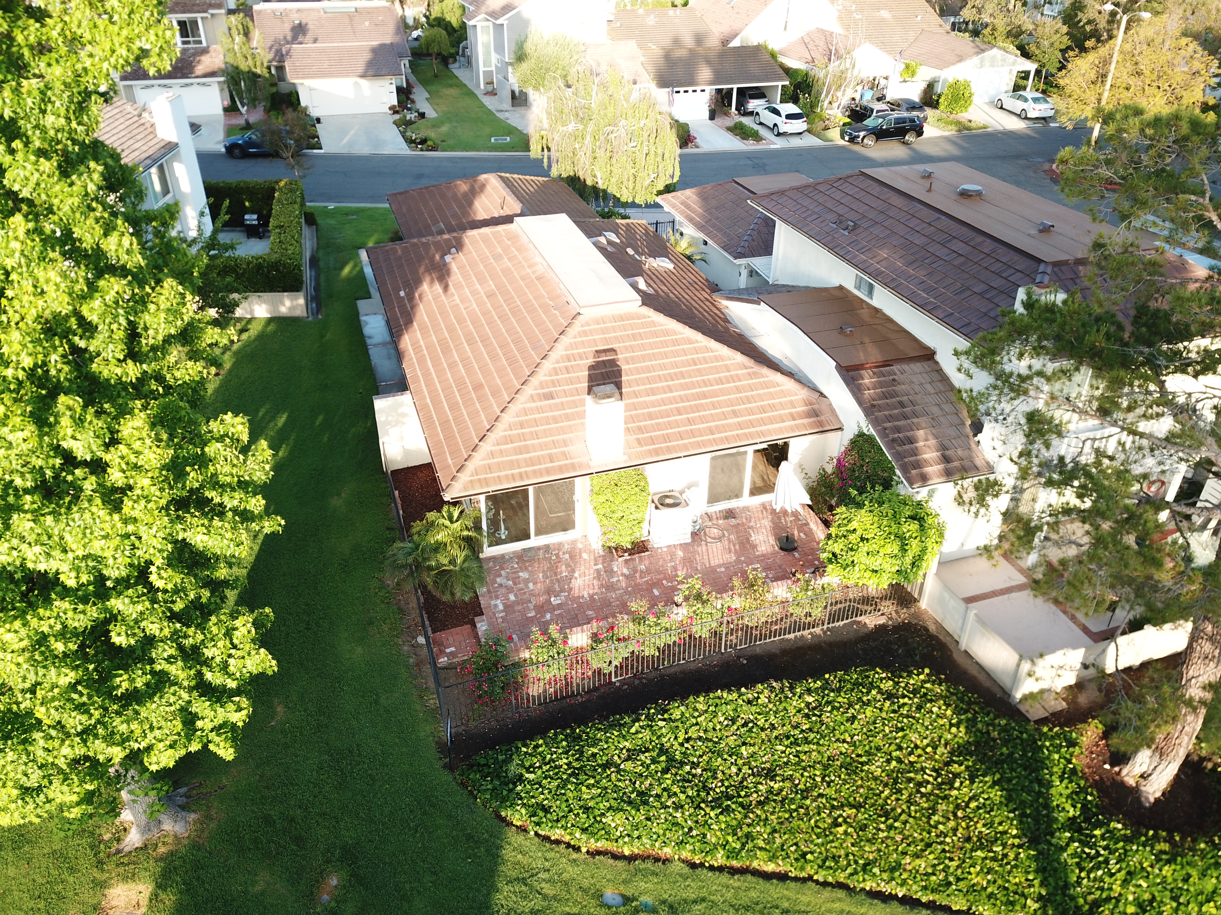
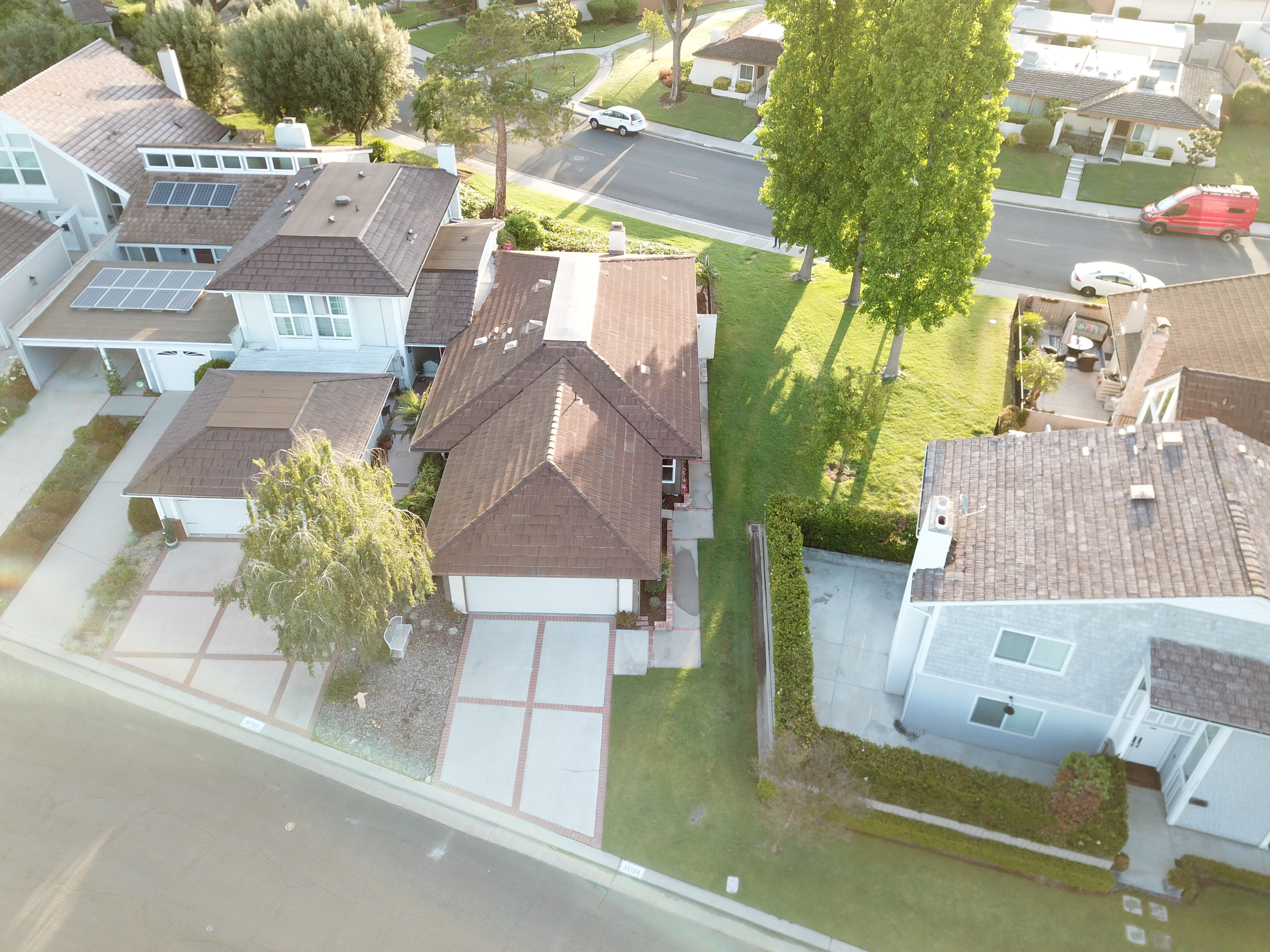
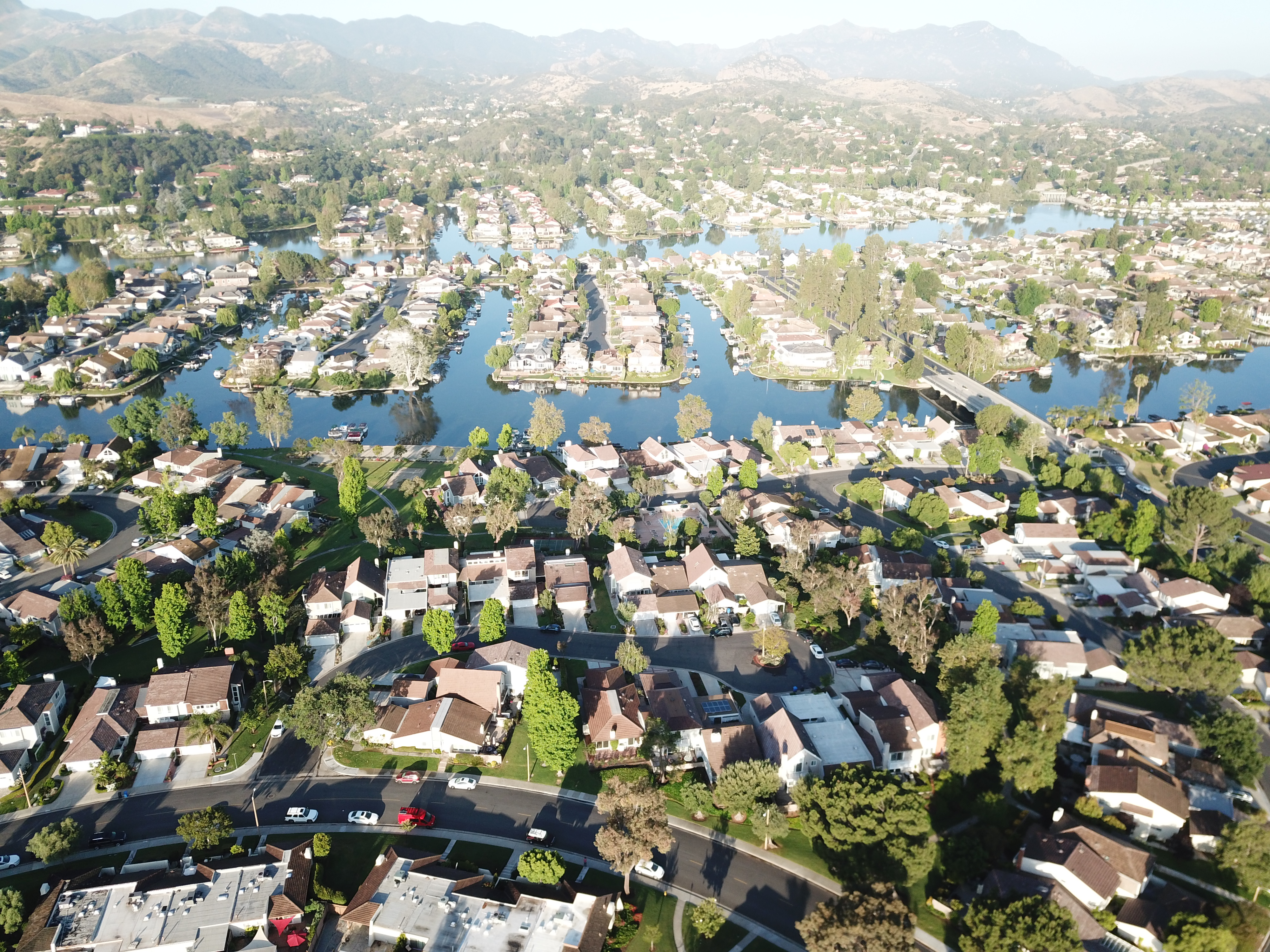
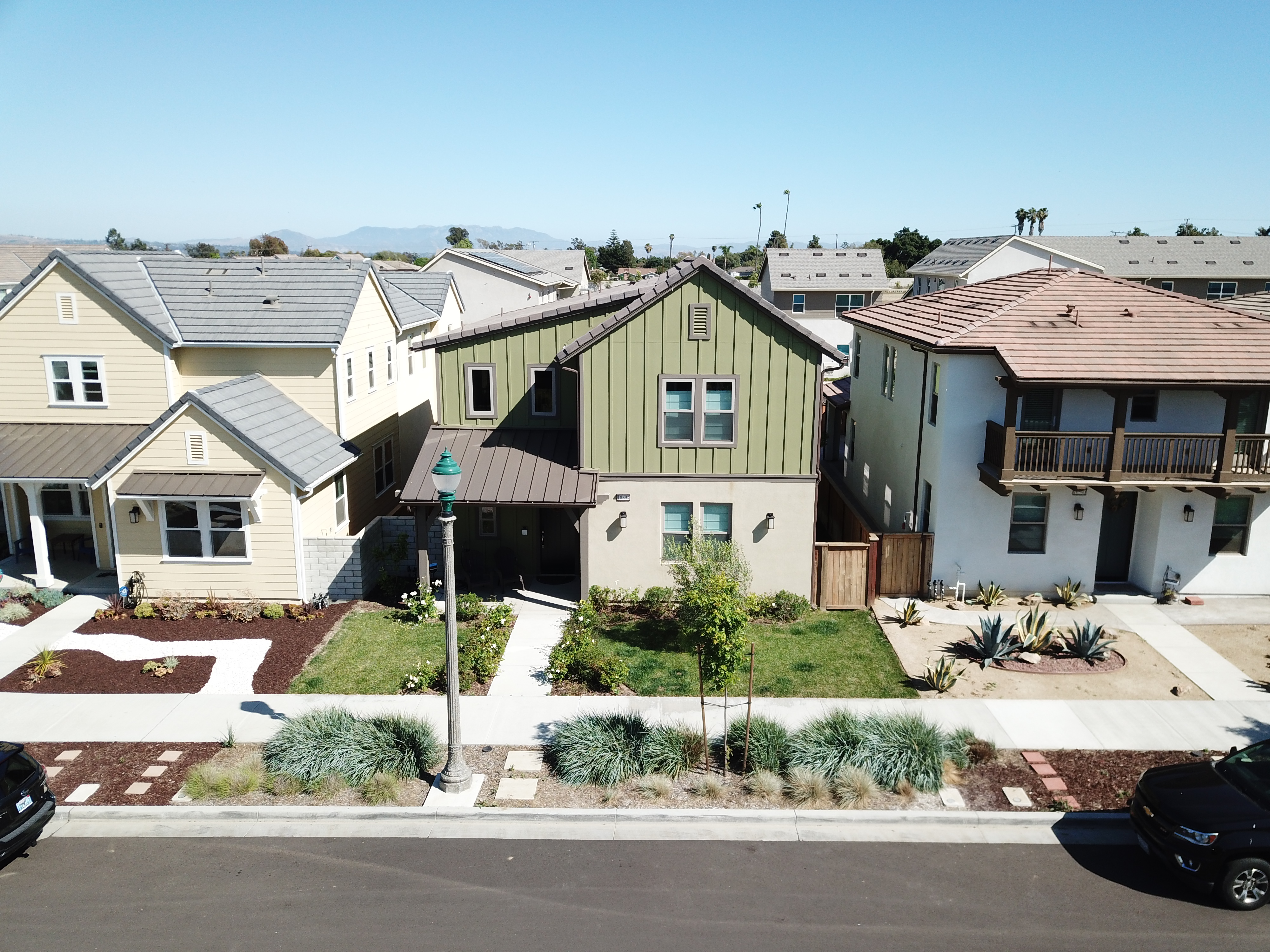
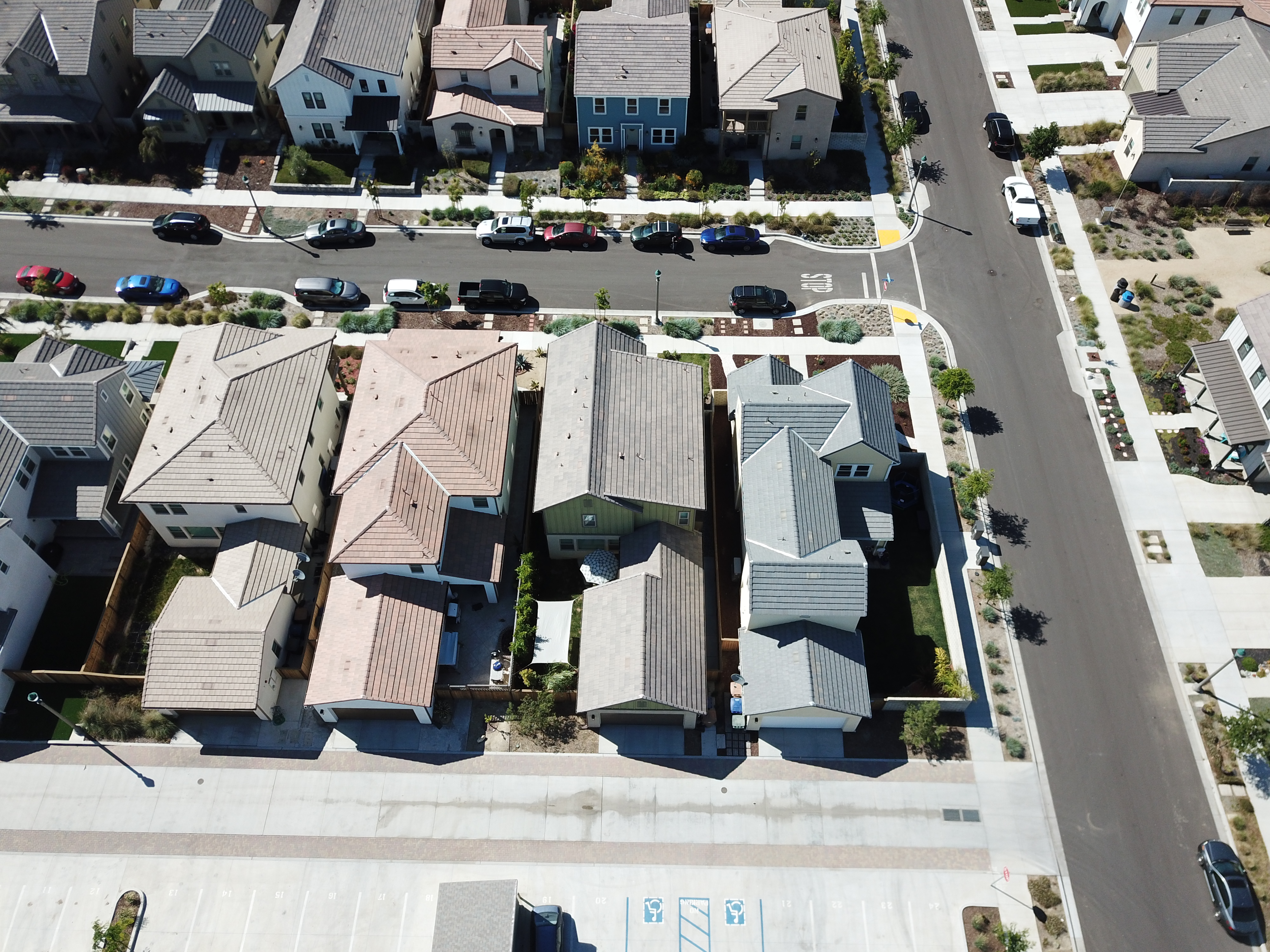
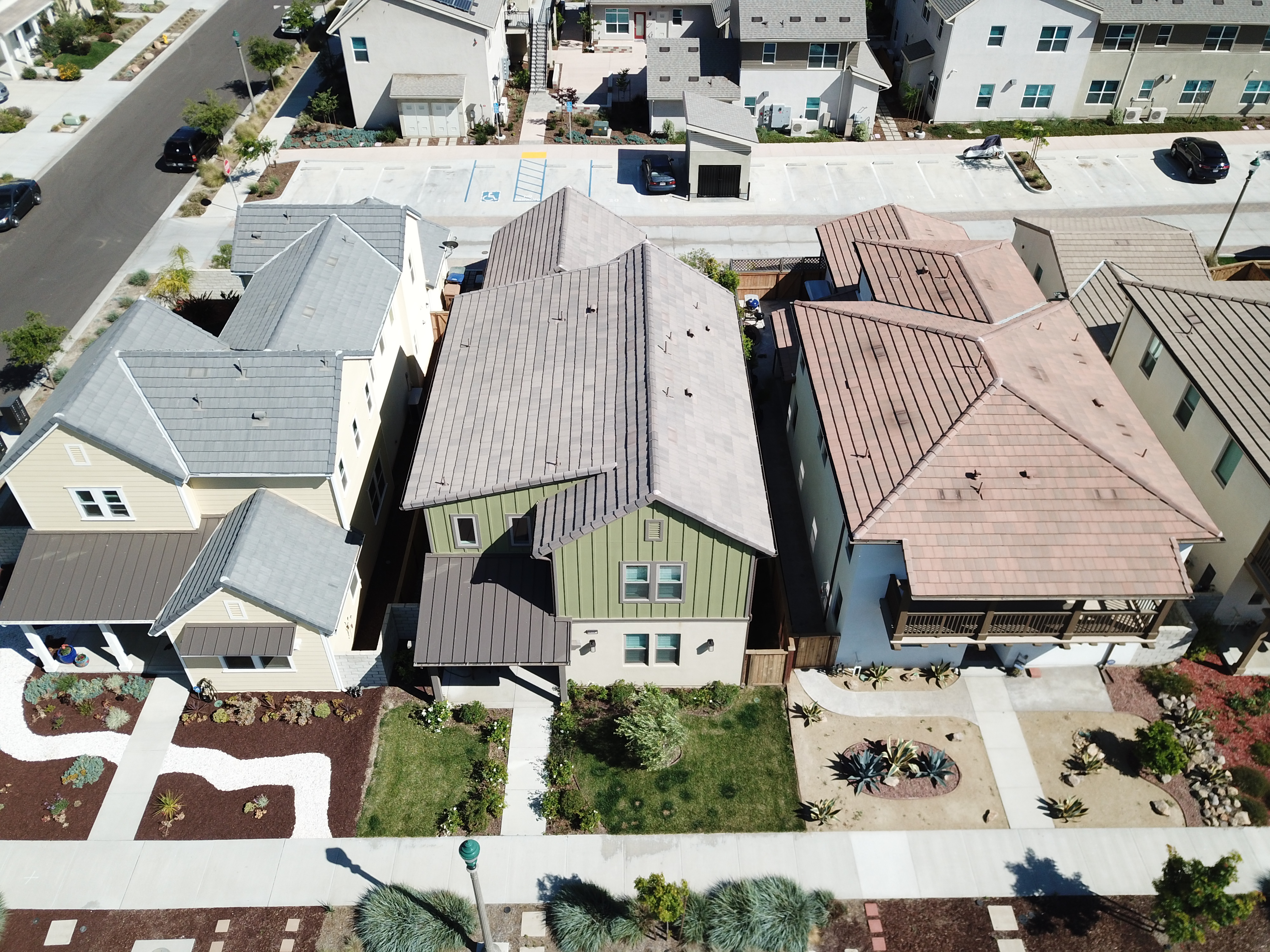
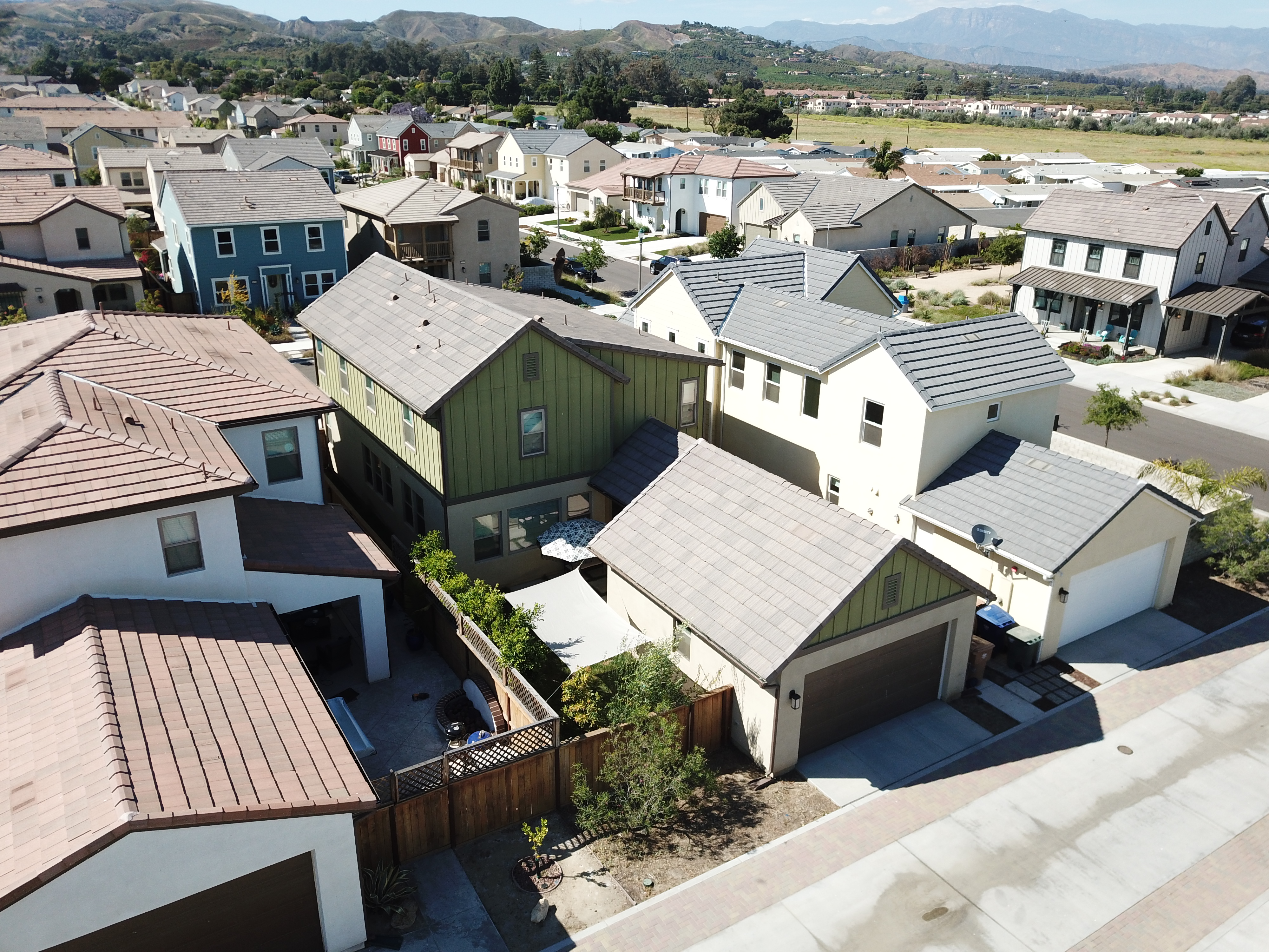
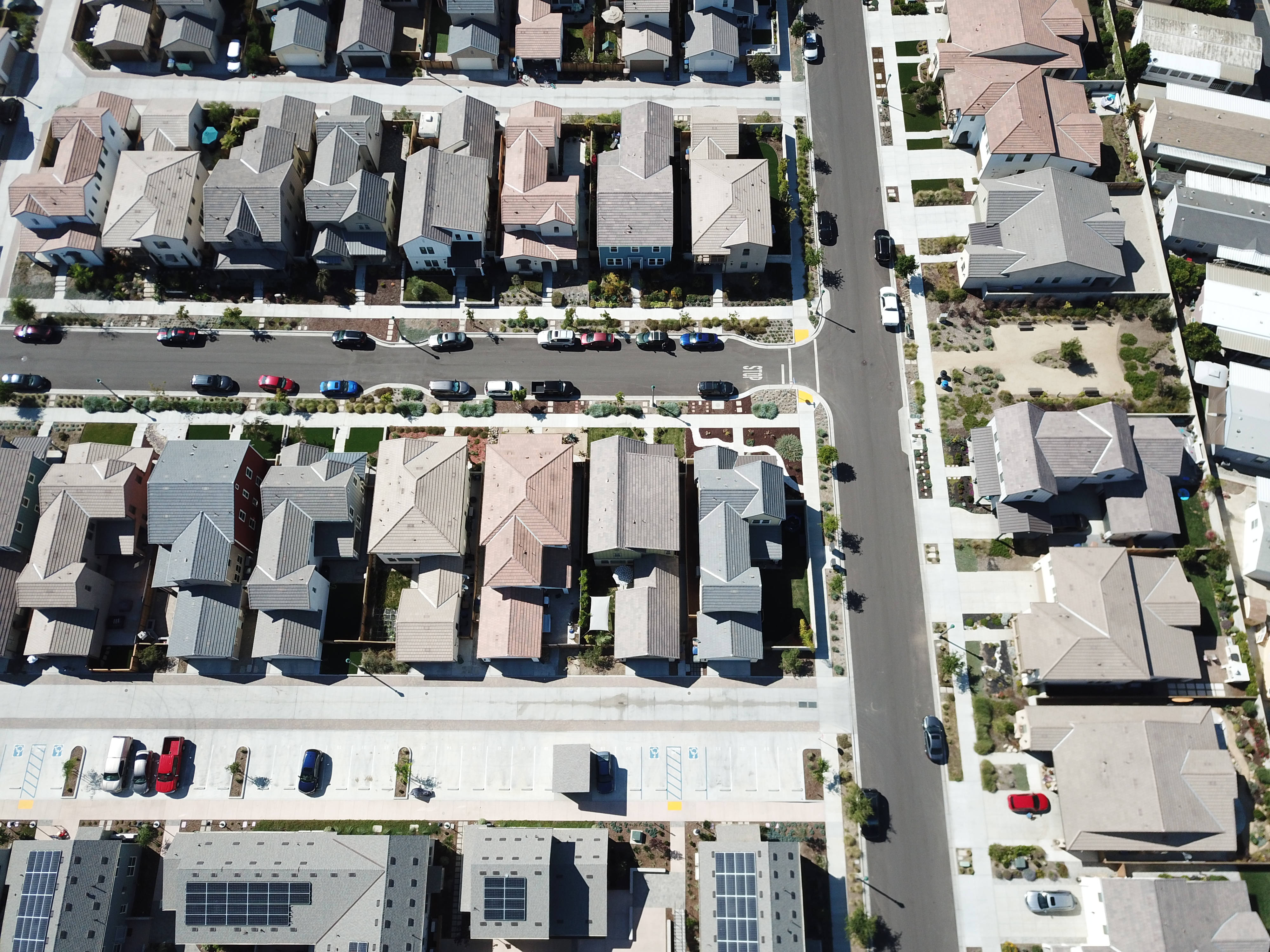
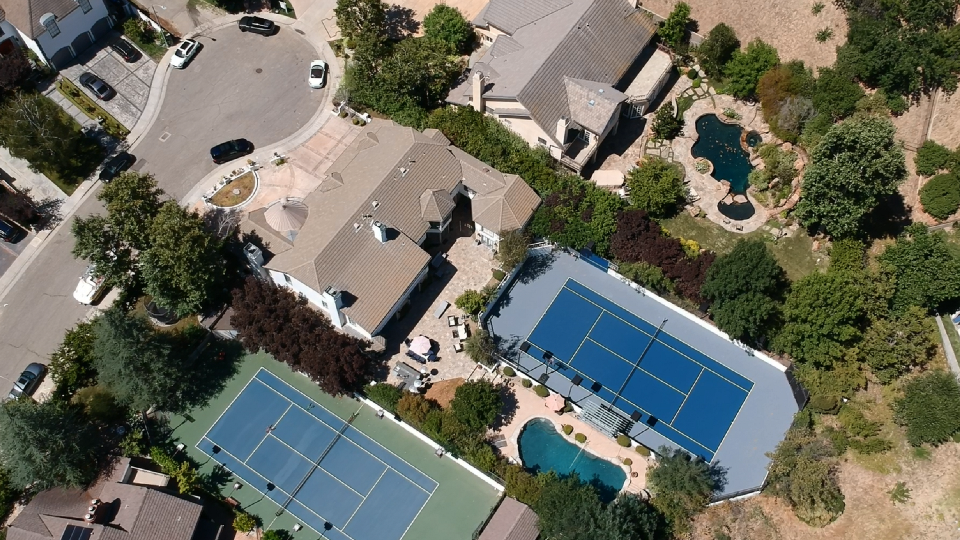
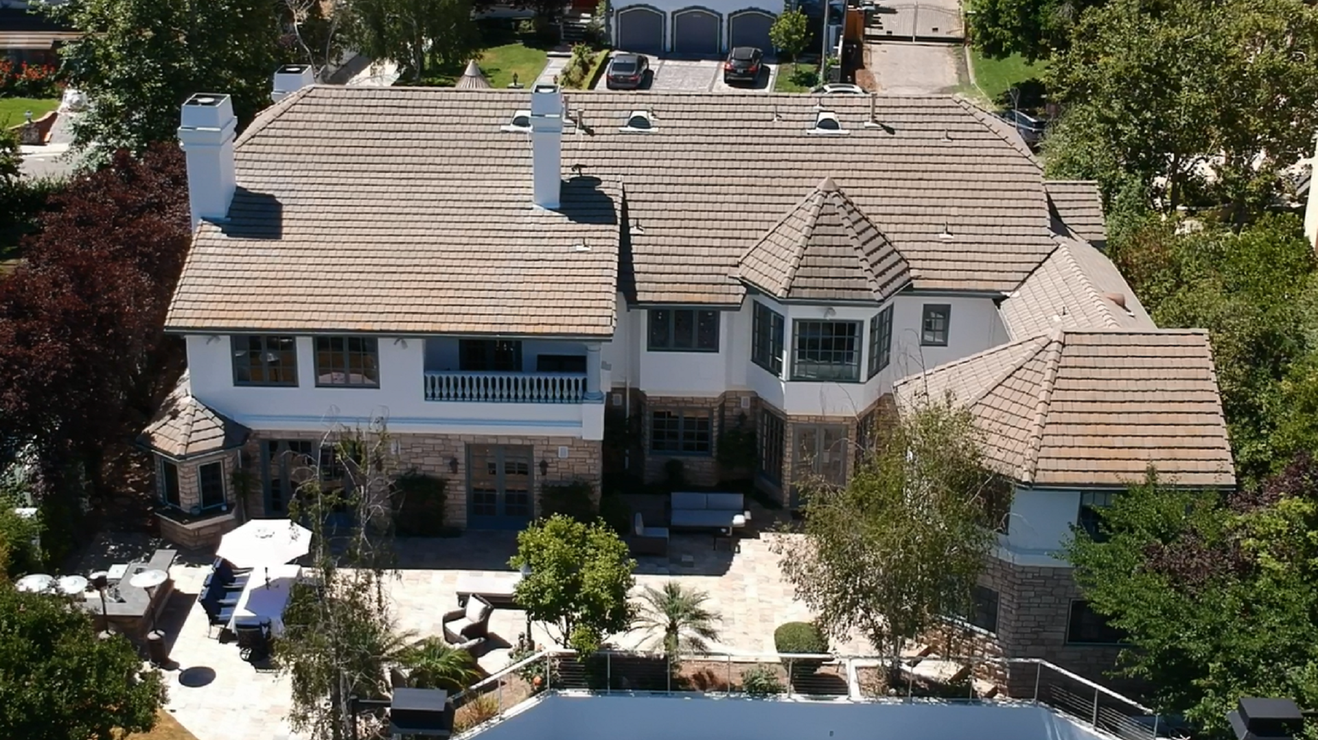
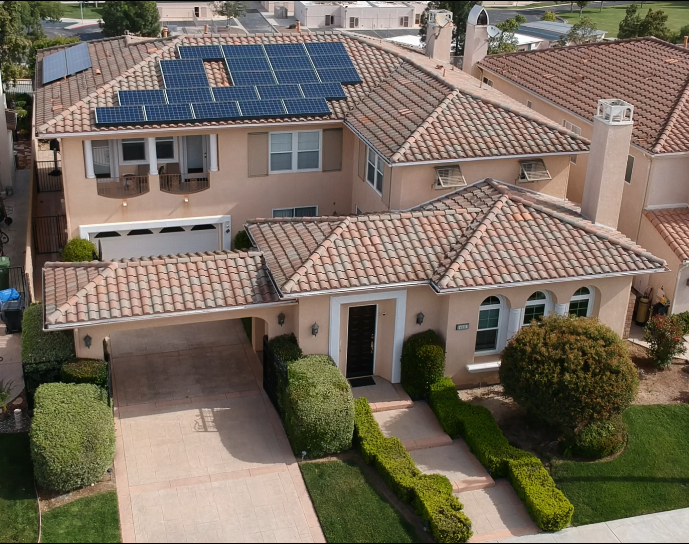
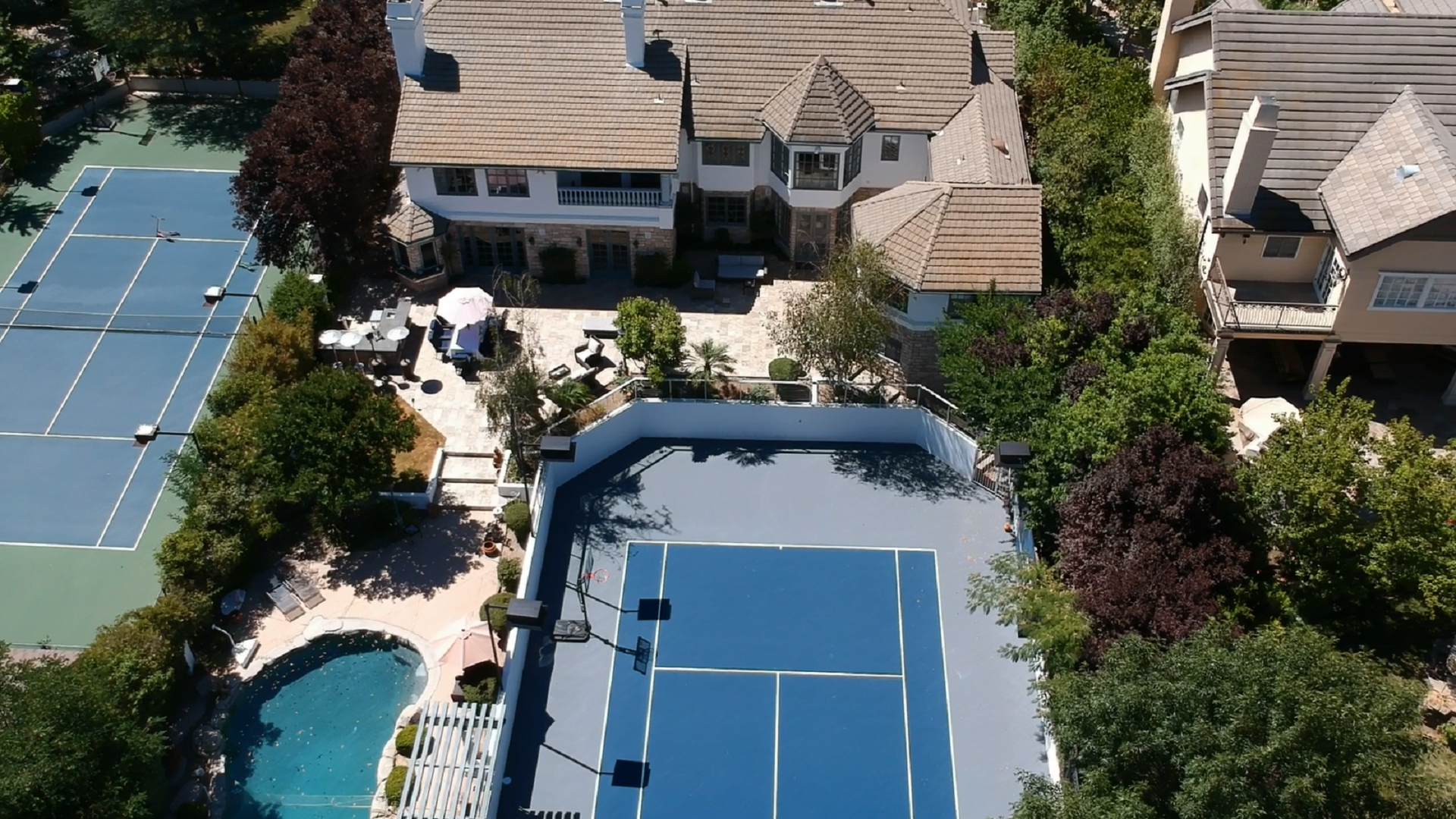
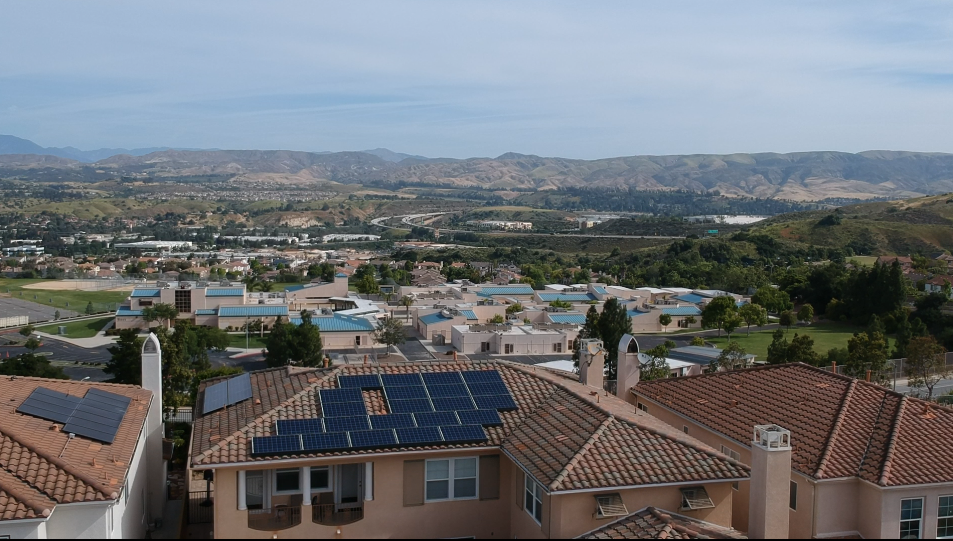
Aerial view is a one of the coolest features in showcasing your listing or your business. This way the client can see the property from a higher elevation view usually captured by a drone. This type of view allows the clients to see the topography of the property and the adjacent properties, how it’s laid out and any exterior features or amenities. We use the images or videos captured by the drone to create a promotional video for the property. This process is not included in our standard pricing.  

We Use the Best Drones with the Best Quality!

we are operating a

MAVIC PRO PLATINUM


Matterport360View Photo & Video Quality 

Image Size:

4000×3000


Still Photography Modes:

Single shot
Burst shooting: 3/5/7 frames
Auto Exposure Bracketing (AEB): 3/5 bracketed frames at 0.7 EV Bias
Interval


Video Recording Modes  :                             

C4K: 4096×2160 24p
4K: 3840×2160 24/25/30p
2.7K: 2720x1530 24/25/30p
FHD: 1920×1080 24/25/30/48/50/60/96p
HD: 1280×720 24/25/30/48/50/60/120p